
Outdoor Map Navigator from Anquet
Proper mapping apps for desktop, phones and tablets.
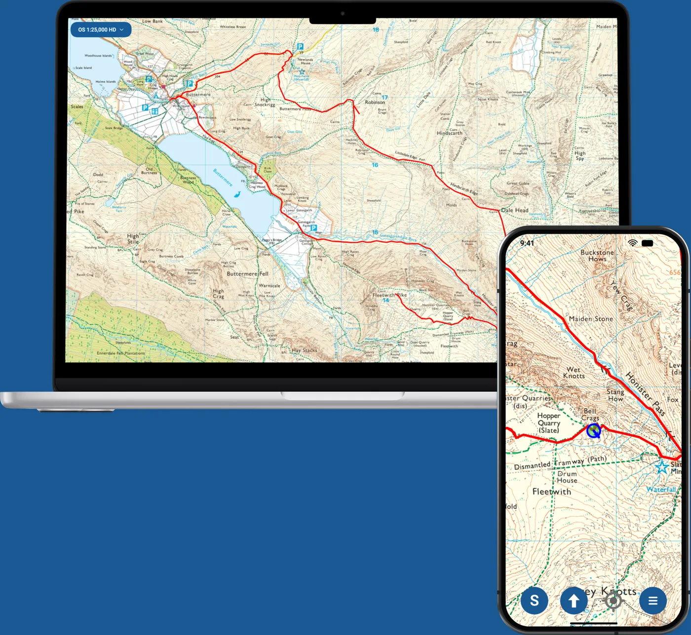
OMN4 installs on Windows and macOS computers, on iPhone and iPad, and on Android phones and tablets. All four apps use Ordnance Survey maps of Great Britain.
From £36 a year, with a 7-day free trial for new subscribers.
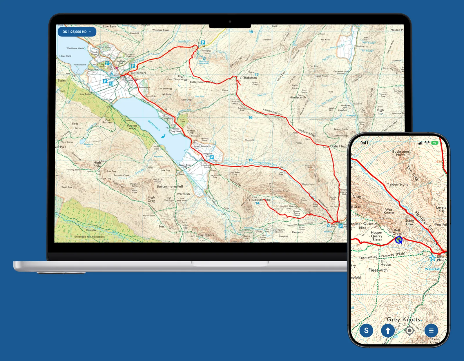
Four apps, one subscription
- Ordnance Survey Explorer and Landranger maps of Great Britain
- Maps and routes downloaded to your phone or tablet, for use without a phone signal
- Map printing from the Windows and macOS apps
- Support from the Anquet team, by email or in the app
- A 7-day free trial for new subscribers
Ordnance Survey mapping
Every subscription includes Ordnance Survey mapping for the whole of Great Britain.
- OS Explorer 1:25,000
- All 403 Explorer maps. Best for walking, running, hiking, off-road cycling and horse riding, with footpaths, rights of way and open access land clearly shown.
- OS Landranger 1:50,000
- All 204 Landranger maps. Ideal for cycling and longer routes, while still showing footpaths and rights of way.
- OS VectorMap Local 1:10,000
- Included with OMN4 Pro GB. A highly detailed map showing fences, building outlines, paths and street names.
- Map updates included
- Updates to your Ordnance Survey mapping are included while your subscription is active.
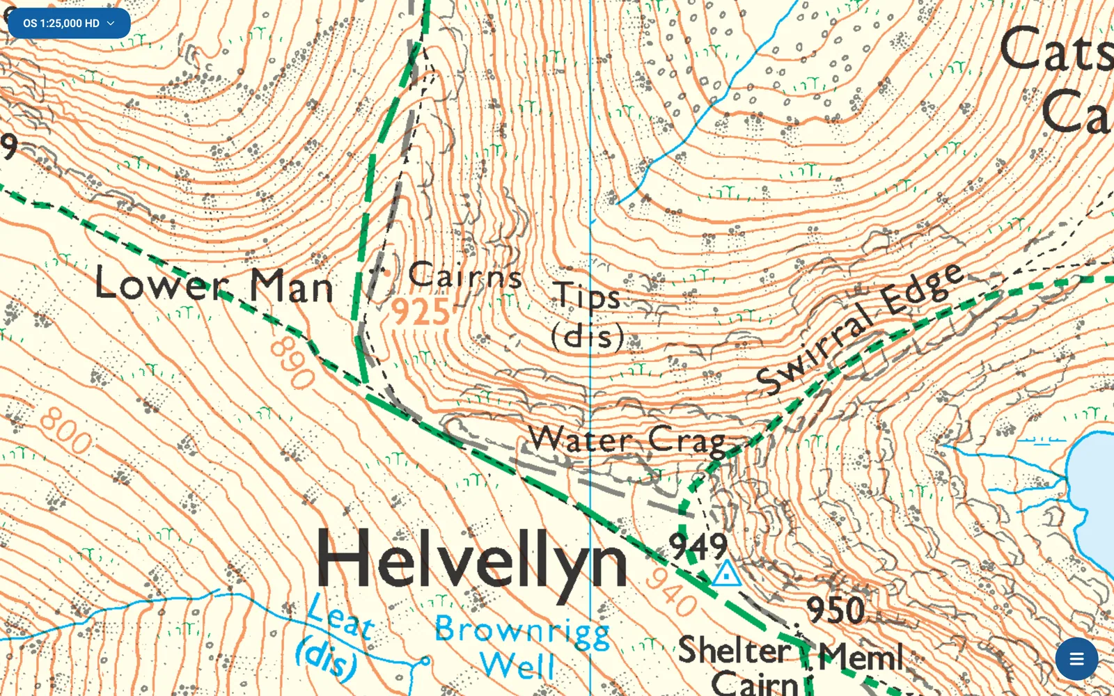
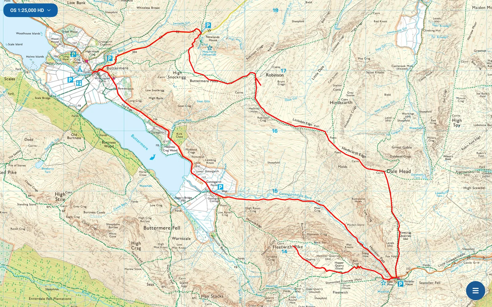
Windows and macOS
The desktop and mobile apps work together. Planning and reviewing routes and tracklogs is easier on a large screen with a mouse, and your phone keeps your routes and maps in your pocket.
- A real desktop app
- OMN4 for Windows and macOS is installed on your computer, not run in a web browser, so downloaded maps work without an internet connection.
- Plan on a larger screen
- Plot and edit your routes with the whole route in view.
- The same design everywhere
- The desktop and mobile apps look and work the same way, so you only need to learn OMN4 once.
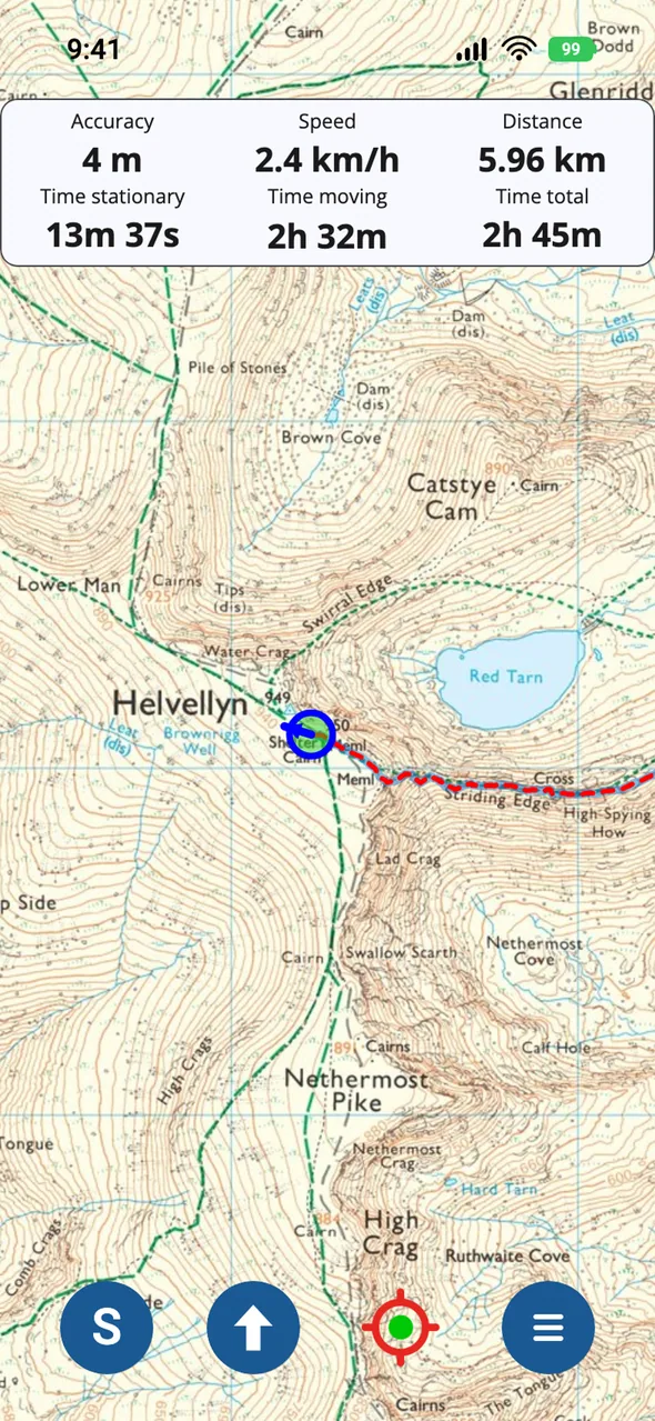
Phones and tablets
- Use without a phone signal
- Download Ordnance Survey maps to your phone or tablet, and use them offline with no internet connection.
- See your live position
- Your phone's GPS shows your position on the map as you move.
- Record your trips
- Record a tracklog of where you have been.
- Create your own routes
- Plot, edit and style routes on your phone or tablet.
- Offline search
- Search for place names and postcodes without an internet connection.
- Grid references
- Use Ordnance Survey grid references, latitude and longitude, or UTM.
Anquet Cloud
Your routes, tracks and waypoints sync between all four OMN4 apps through Anquet Cloud.
- Sync your data
- Plan a route on your PC or Mac, and it syncs to your phone or tablet.
- Edit on the go
- The phone and tablet apps have full route editing, so you can change your plans while you are out.
- Review your trips
- After a trip, review your tracklog on your phone or tablet, or on the larger screen of your PC or Mac once it has synced.
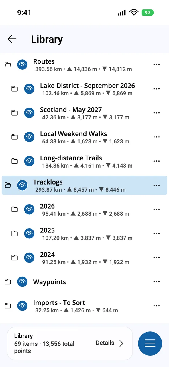
Routes and tracklogs
- Add and save waypoints.
- Plot, edit and style your routes.
- Set the colour, thickness and transparency of your routes and tracks.
- Choose from over 200 icons for your waypoints.
- Save routes and tracks, and sync them to your other devices through Anquet Cloud.
- Import and export GPX, the standard file format for routes and tracks.
Printing
Print Ordnance Survey maps on your own printer from the Windows and macOS apps. Our high-definition 1:25,000 maps come from the same data Ordnance Survey uses for its paper maps, so prints are sharp and clear.
- Print to scale
- Print at the map's own scale, or choose a scale that suits you.
- Route printing
- Set the scale and the overlap between pages, and OMN4 works out which pages to print for your route.
Support
Anquet has made digital mapping software since 2001, and we take pride in our support.
- Human support
- Contact us by email or from within the app. We answer every ticket with care and attention.
- Help Centre
- Online guides cover every part of OMN4, to help you make full use of your subscription.
7-day free trial
New subscribers get 7 days free before annual billing starts. Cancel during the trial and you won't be charged.